Utility Mapping
GPR Training: Theory, Practical Use and Post Processing for Utility Surveyors
Ground Penetrating Radar is the detection method that reveals what an electromagnetic locator cannot. This two-module GPR training programme covers GPR technology from the science behind a radargram to GPS-integrated data collection and full post processing in Object Mapper software. Elevate your surveying skills with expert-led ground penetrating radar training. Book individually or take both modules together.
2 Modules
Take together or separately
CITB Approved
CITB-approved training
TSA Approved
Survey Association approved
EUSR Accredited
ProQual Approved Centre
What This Course Covers
The Complete GPR Training Programme
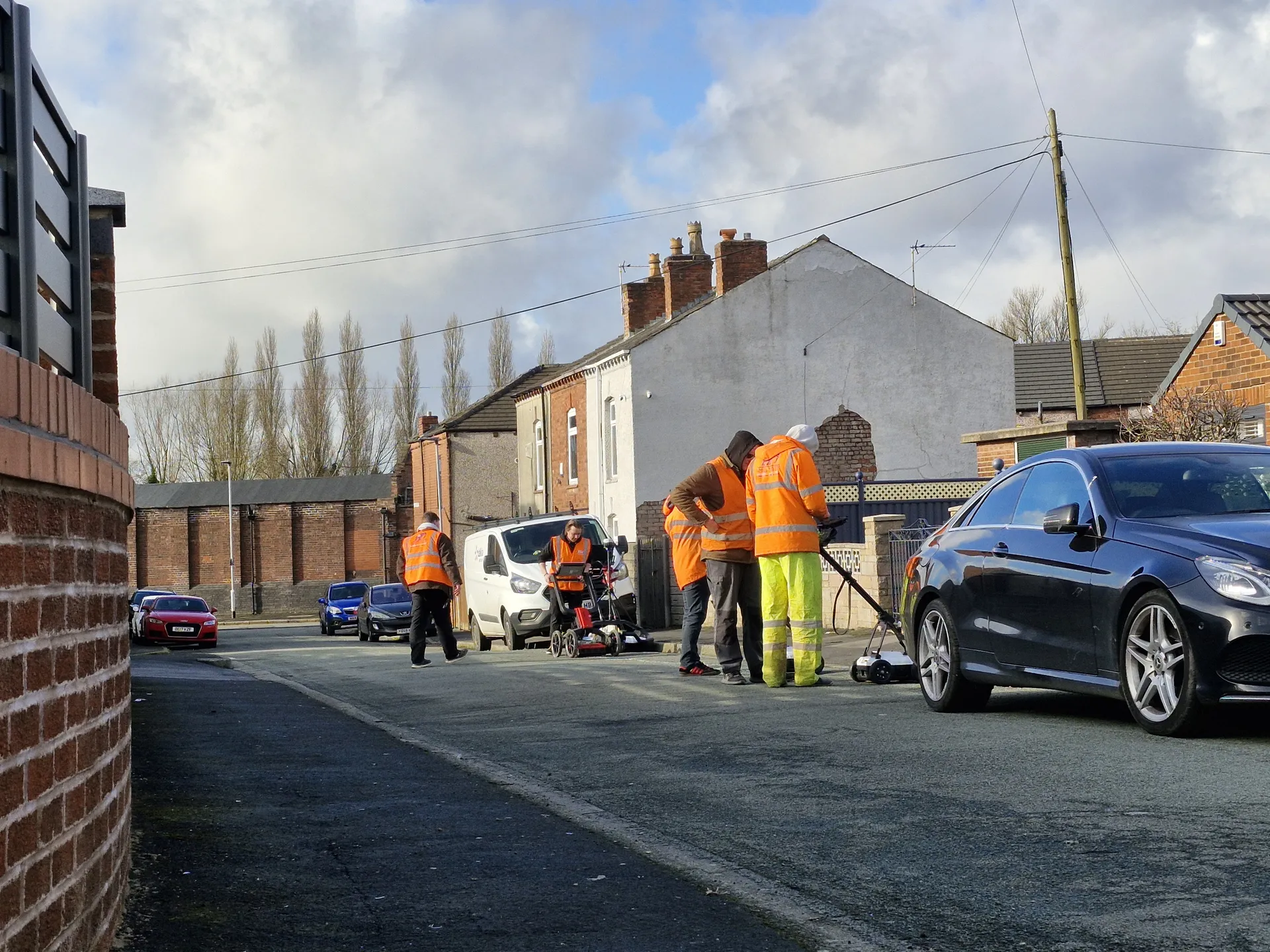
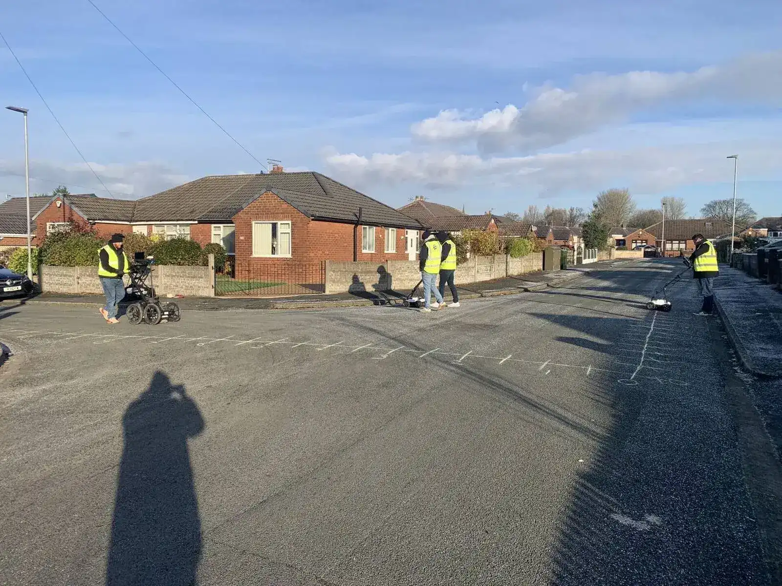
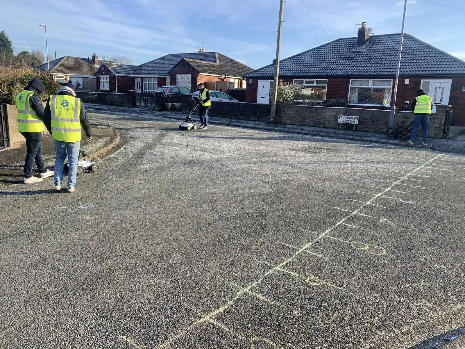
Electromagnetic locating is the foundation of most utility surveys, but it cannot detect all services. Non-conductive pipes, poorly connected systems, congested utility corridors and services with no viable connection point all present challenges that ground penetrating radar is uniquely placed to address. But GPR technology is only useful when the operative knows how to set it up correctly, read the data in the field, and extract meaningful GPR insights from the results. Equipment selection, correct configuration, and accurate post processing all determine whether a ground penetrating radar survey adds genuine value or generates misleading data.
Sygma's GPR training programme is structured in two modules that work together as a complete system. Module 1 builds the theoretical knowledge and practical skills needed to operate GPR equipment on a live survey site. Module 2 takes that capability further, covering GPS-integrated data collection, grid surveys, multi-array antennas and the full post processing workflow in Object Mapper software.
The two modules are run as a two-day course or can be taken individually depending on existing knowledge and training needs. Module 2 requires either completion of Module 1 or a solid working knowledge of GPR operation.
Module 1
GPR Theory and Practical Use
1 day. No prior GPR experience required. Theory, radargram reading, and practical site survey.
Module 2
Data Collection and Post Processing
1 day. Prerequisite: Module 1 or solid working knowledge. GPS data collection, Object Mapper software, CAD export.
Both Modules
Two-Day Combined Course
Complete GPR training in two consecutive days. Recommended for new entrants and full refreshers.
Audience
Designed For
| Who | Which Module |
|---|---|
| Utility surveyors new to GPR | Module 1 (start here) |
| Surveyors who can operate GPR on site but want to extend to post processing | Module 2 (if you already understand GPR fundamentals) |
| Surveyors who need both (complete beginners or those refreshing both skills) | Both modules as a two-day course |
| Delegates on the 5 Day PAS128 Surveyor Course who want standalone GPR training | Both modules complement the 5 Day course content |
| TSA and ICES programme delegates covering ICES GEUS01 F | Module 1 covers Part 1; Module 2 covers Parts 2 and beyond |
Module 1
GPR Theory and Practical Use
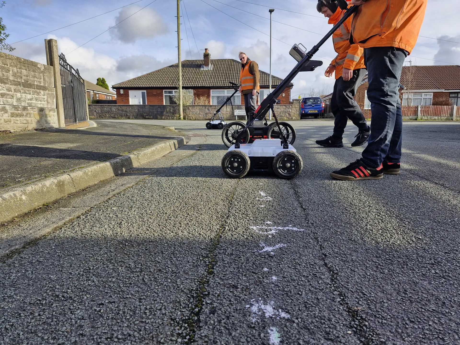
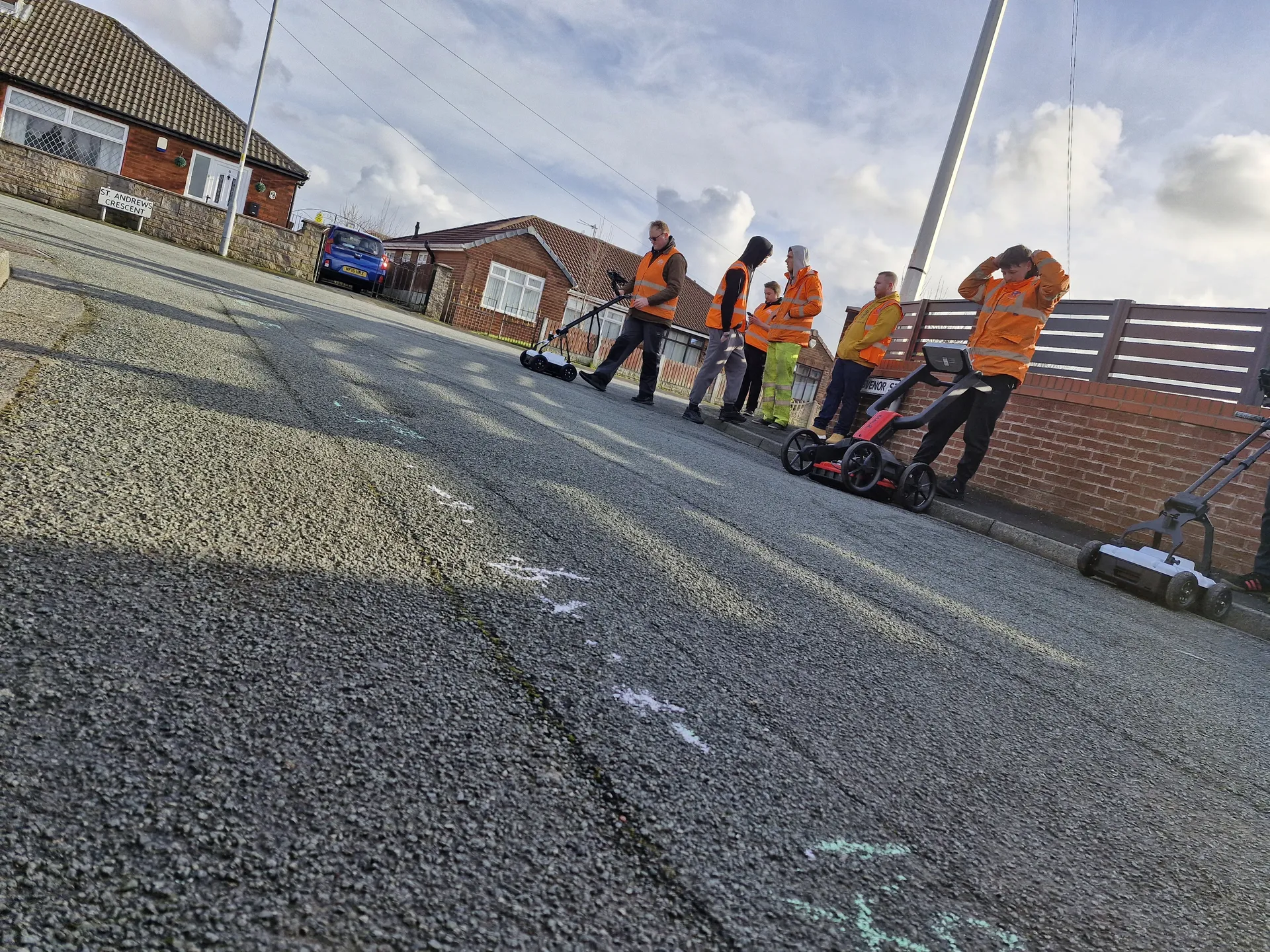
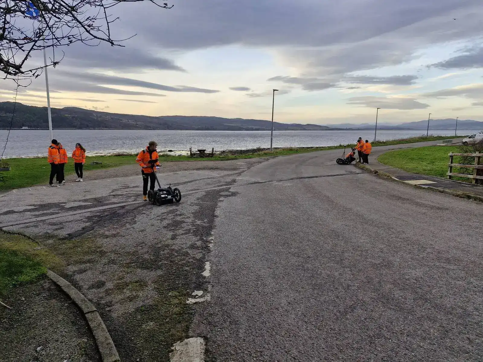
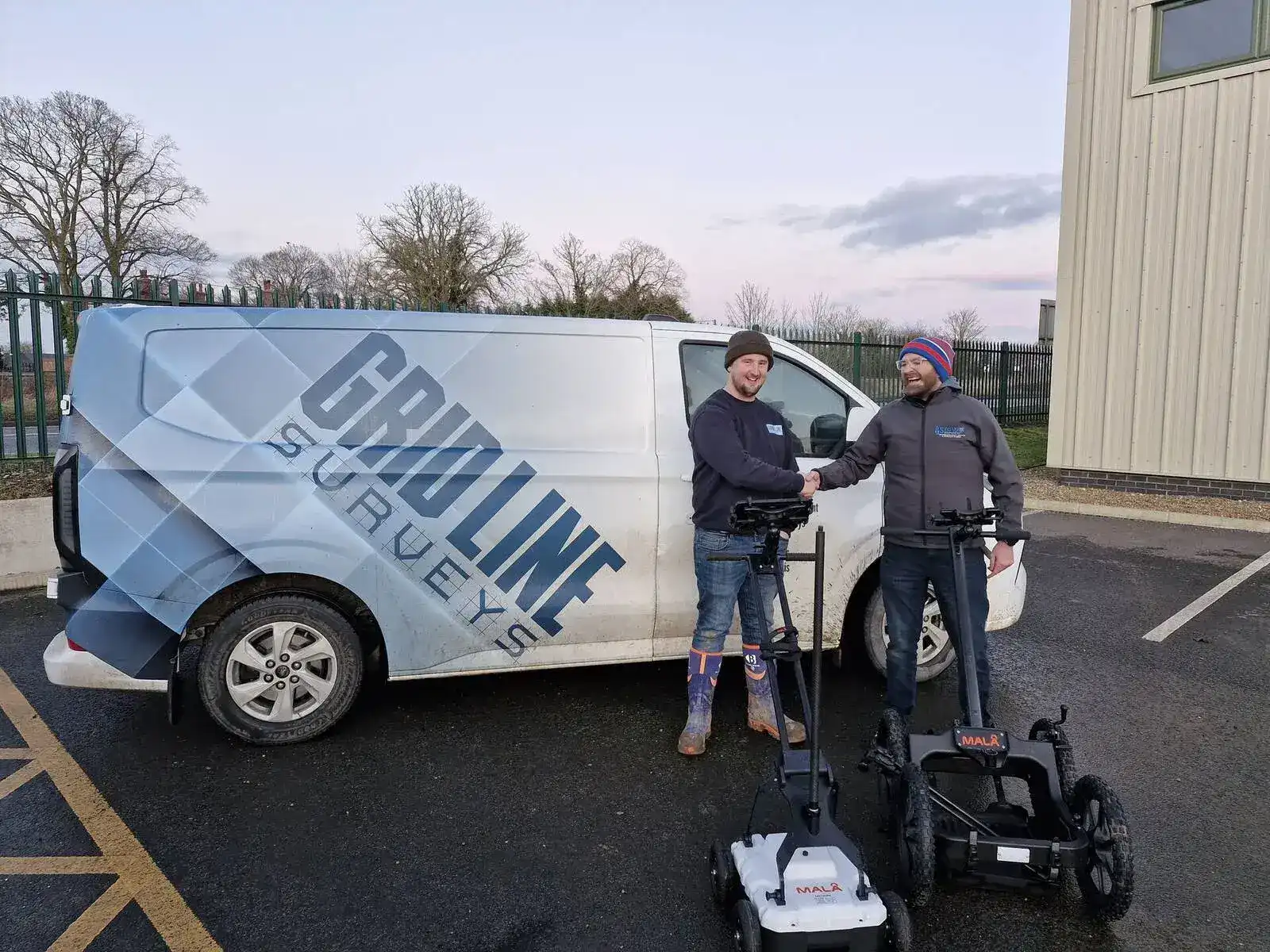
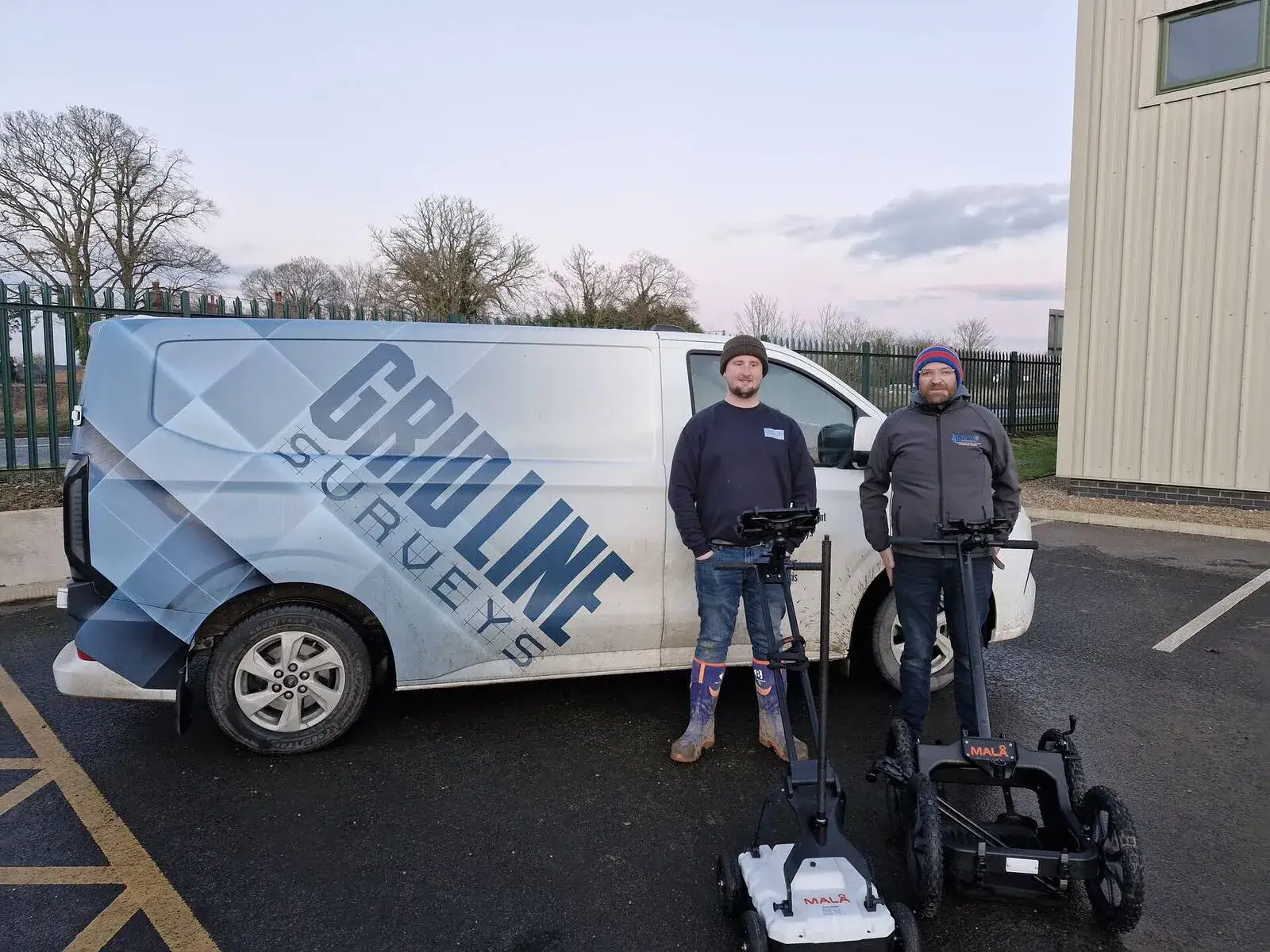
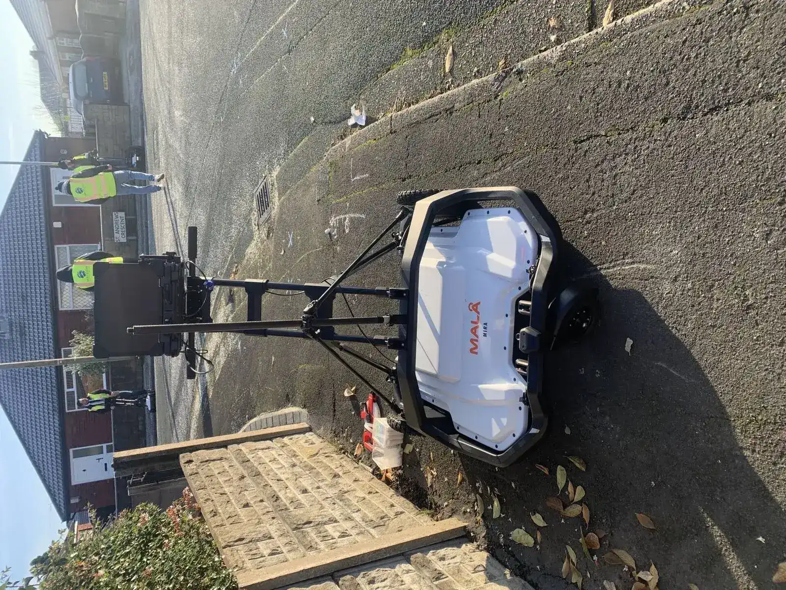
Duration: 1 day (approximately 08:30 to 15:00). No prior GPR experience required. Equipment used: MALA Easy Locator GPR (HDR and HDR Pro) as standard; Leica DS2000 and Leica DSX available for in-house delivery.
Classroom Content
Practical Content
PPE
Appropriate PPE to comply with national and company health and safety requirements throughout practical elements.
Module 2
Data Collection and Post Processing
Duration: 1 day (approximately 08:30 to 15:00). Prerequisite: Module 1 attendance or good working knowledge of GPR operation.
Morning: Data Collection on Site
Afternoon: Post Processing
Software
Module 2 requires access to Object Mapper software. Sygma provides all required equipment. Delegates wishing to use alternative post processing software should discuss this with the bookings team in advance.
Booking Options
Individual Modules or Full Two-Day Course
| Option | Duration |
|---|---|
| Module 1 only | 1 day |
| Module 2 only | 1 day |
| Module 1 + Module 2 (two-day course) | 2 days |
Both modules are available as in-house private courses delivered at your premises or as open courses at Sygma's Wigan training centre. MALA Easy Locator specific training variants are available. The Module 1 and Module 2 agendas follow the same structure with additional MALA Easy Locator HDR and HDR Pro content. Speak to the bookings team about suitable dates.
Accreditation
Approved by the Bodies That Matter in Utility Surveying
CITB Approved
CITB-approved training for the construction sector
TSA Approved
Approved by the Survey Association
EUSR Accredited
Nationally recognised utility sector accreditation
ProQual Approved Centre
Sygma is a ProQual approved centre for utility mapping qualifications
What You Get at the End
What You Receive at the End of the Course
Certificate of Attendance
Completion certificate issued by Sygma confirming successful completion of Module 1 and or Module 2.
Practical Assessment Record
Detailed record of practical assessments completed on site, documenting competency demonstrated during the course.
Equipment Confidence
Hands-on experience with MALA Easy Locator GPR equipment. Delegates leave able to operate the equipment independently in the field.
Ongoing Support
Post-course access to Sygma for technical questions and guidance on GPR application in your specific working environment.
Funding Support
CITB Employer Network
Sygma is a CITB Approved Training Organisation (ATO) and a member of the CITB Employer Network. Employers registered with CITB may be able to access Employer Network funding towards training costs. Contact your CITB adviser or Sygma for guidance on eligibility.
Training Pathway
Where Ground Penetrating Radar Training Sits in the Utility Surveying Career Path
GPR is one of the four detection methods specified in PAS128 Level B. This standalone GPR training programme is the recommended route for surveyors who need to develop or extend their GPR competency outside of the 5 Day PAS128 Surveyor Course.
For those working towards ProQual Level 4 or Level 5, GPR competency forms a key component of the ICES GEUS01 F evidence requirement. Module 1 covers ICES GEUS01 F Part 1; Module 2 takes the evidence further into post processing.
For delegates working through the full ICES competency framework, both GPR modules form part of the TSA and ICES Utility Mapping Programme.
Related Training
Related Courses and Next Steps
5 Day PAS128 Surveyor Course
Includes GPR training within the full surveyor programme
TSA and ICES Utility Mapping Programme
Full ICES competency programme including GPR modules
PAS128 Awareness
Entry-level PAS128 understanding for those who procure or interpret surveys
ProQual Level 3 Certificate
Nationally recognised qualification for utility surveyors
All Utility Mapping Training
Overview of all utility mapping training and qualification options
Common Questions
Frequently Asked Questions
Do I need prior GPR experience for Module 1?
No. Module 1 starts from first principles and is suitable for surveyors who have never operated GPR before. The classroom session builds the theoretical foundation before any practical work.
Can I attend Module 2 without doing Module 1?
Yes, provided you have a good working knowledge of GPR functions and operation. Ideally you will have completed Module 1 or equivalent training. If you are unsure whether your existing knowledge is sufficient, contact the bookings team before enrolling.
What GPR equipment is used on the course?
The course uses MALA Easy Locator GPR equipment including the HDR and HDR Pro models as standard. For in-house delivery, the course can be adapted for Leica DS2000, Leica DSX, and other client-supplied GPR systems. MALA-specific variants of both modules are available for open courses. Delegates who wish to use alternative GPR equipment should discuss this with the bookings team in advance.
What post processing software is covered in Module 2?
Module 2 covers Object Mapper software, including importing, processing, filtering, hyperbola fitting and exporting to CAD. Google Maps and Google Earth integration is also covered.
Is GPR training available in-house?
Yes. Both modules are available as private in-house courses delivered at your premises or a site of your choice. Contact the bookings team to discuss dates and logistics.
How does this training relate to PAS128?
GPR is a specified detection method within PAS128 Level B. Completing both GPR training modules equips surveyors to conduct PAS128 Level B GPR surveys. For the full PAS128 training programme covering Levels D, C and B, see the 5 Day PAS128 Surveyor Course.
Why Sygma
Why Train With Sygma for GPR?
Hands-On Practical From Day One
All GPR training includes hands-on practical assessment in real site conditions. Delegates operate GPR equipment on real ground with real targets, not classroom simulations.
GPR Experts Who Survey Professionally
Sygma's ground penetrating radar trainers are experienced utility surveying experts who use GPR technology operationally. They teach from direct field experience, delivering real GPR insights rather than reading from a script.
Independent of All Manufacturers
Sygma does not sell ground penetrating radar equipment. Training is delivered without bias toward any specific manufacturer, so delegates learn equipment selection principles and how to get the best out of whatever GPR technology they use. This independence means you receive unbiased GPR insights that elevate your surveying capability.
PAS128 Aligned
GPR Module 1 and Module 2 together provide the GPR component of PAS128 Level B survey competency. For surveyors working toward PAS128, this is the practical GPR foundation.
Flexible Delivery
Available as open courses at Sygma's Wigan centre or as private in-house courses at your premises. Modules can be taken individually or together depending on your team's needs.
Post Processing Included
Module 2 covers post processing with Object Mapper software, including CAD export and Google Maps integration. Delegates leave able to process and interpret their own survey data.
Enquire About Ground Penetrating Radar Training
Open course dates available at Sygma's Wigan training centre. Private in-house bookings arranged to suit your team and location. Our GPR experts will help you choose the right module or combination to elevate your ground penetrating radar surveying skills.