Utility Mapping
TSA and ICES Utility Mapping Training Programme: Seven Modules to Full Professional Competency
The most comprehensive utility mapping training programme available in the UK. Seven modules. Seventeen-plus days. Every ICES competency from desktop survey and PAS128 reconnaissance through to advanced GPR post processing, total stations, GNSS, geometric principles and CAD. Approved by TSA and mapped to ICES competencies across GEUS01, GEUS02, GEUS03 and GEUS04. The pathway to ProQual Level 4 and Level 5.
7 Modules
17+ training days across the full programme
TSA Approved
Survey Association approved delivery
ICES Mapped
Full ICES competency coverage for utility mapping
What This Programme Is
A Structured Pathway to Full Professional Competency
Most utility training providers offer individual courses. Sygma's TSA and ICES Utility Mapping Programme is different. It is a structured, seven-module training programme designed to develop the full range of competencies required for professional utility mapping, as defined by the Institution of Civil Engineers Surveyors (ICES) competency framework.
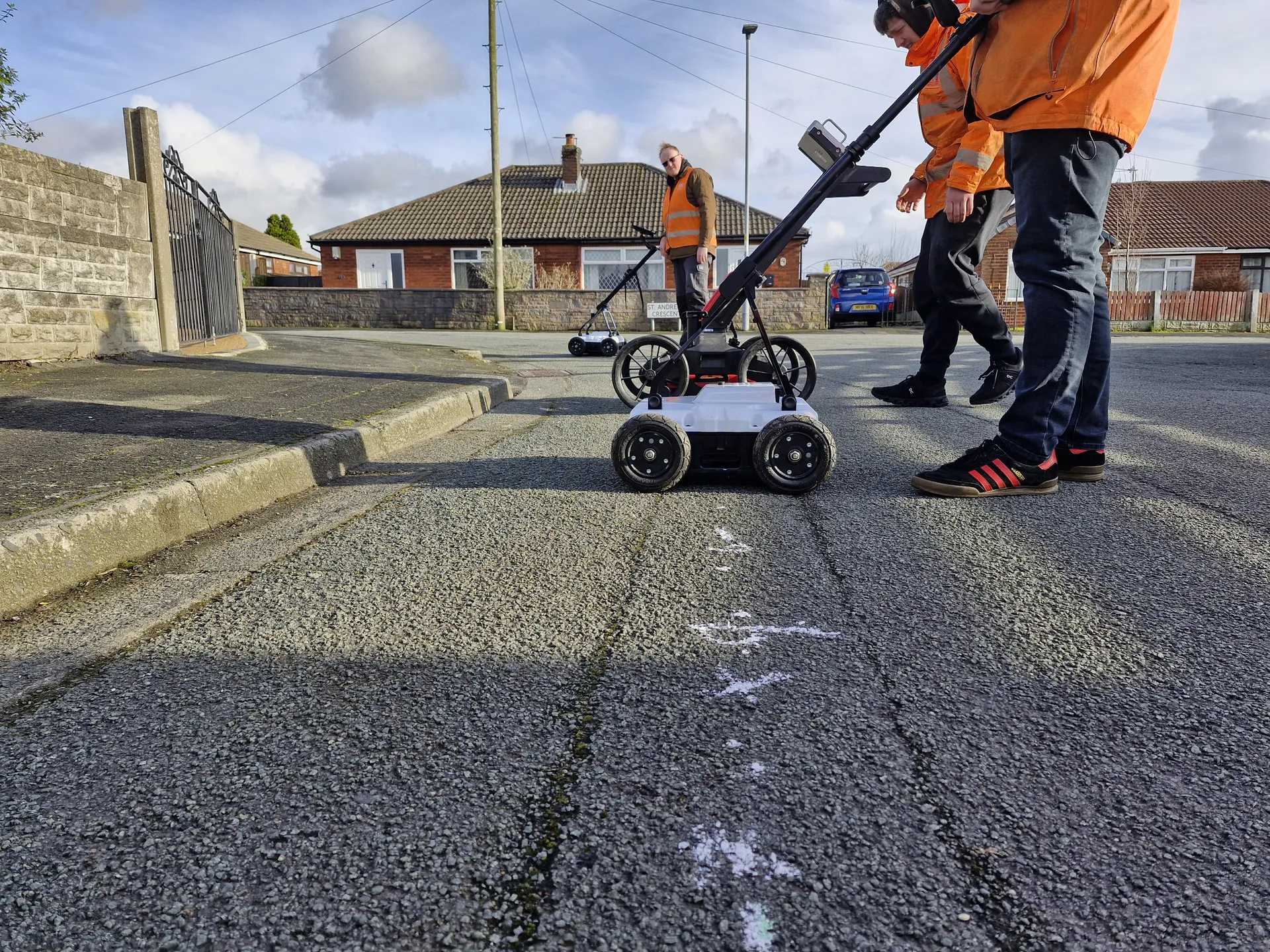
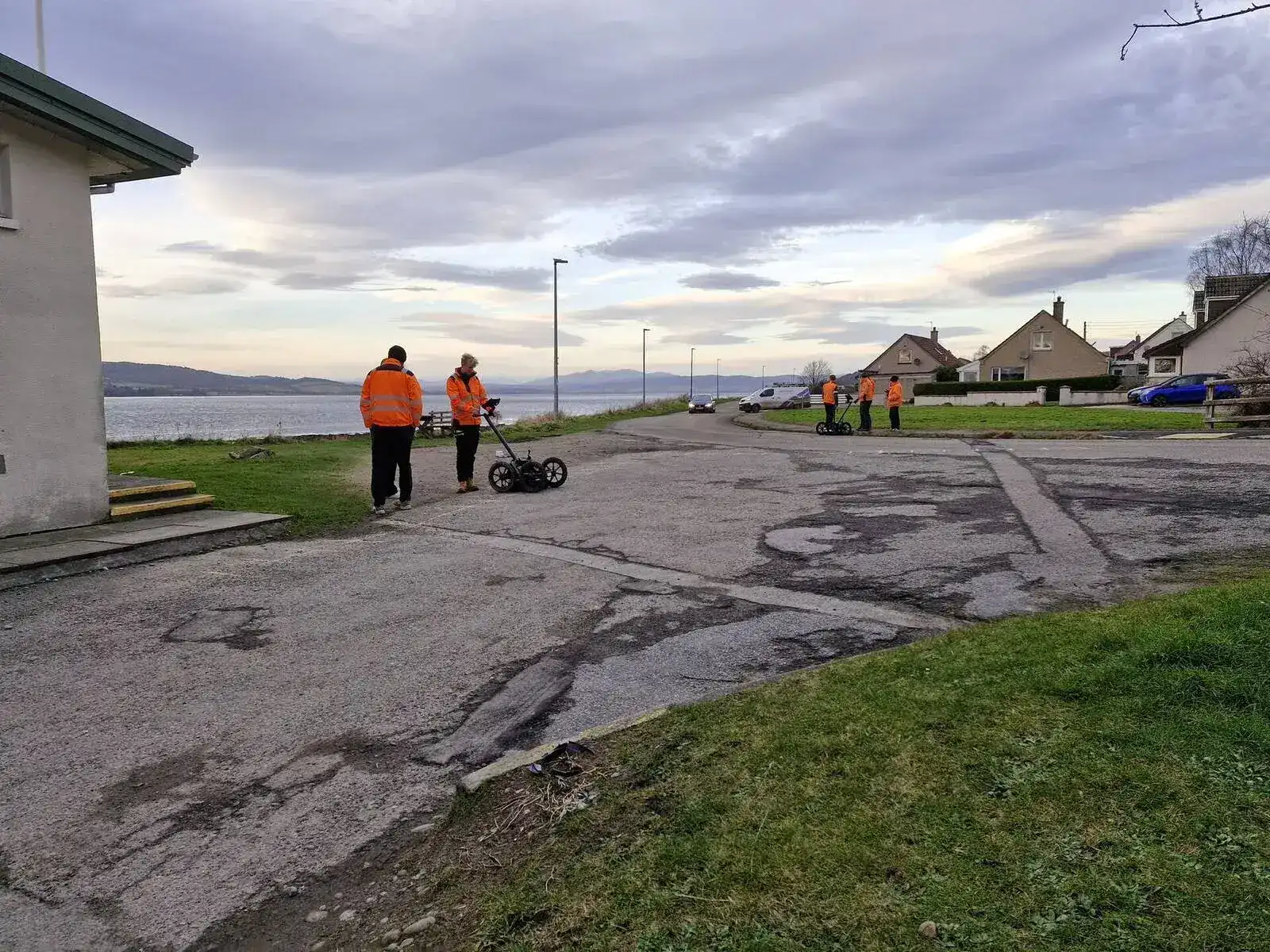
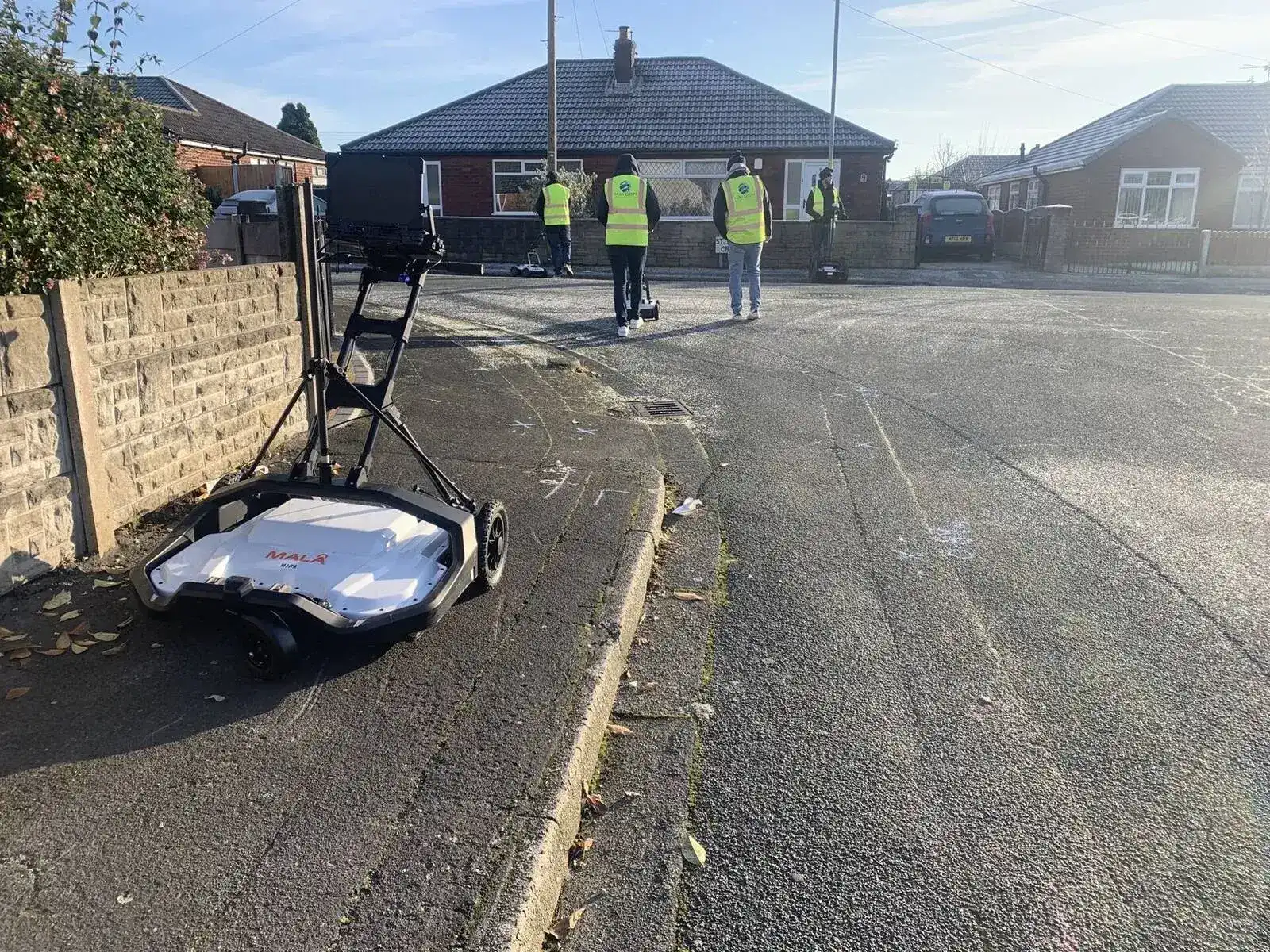
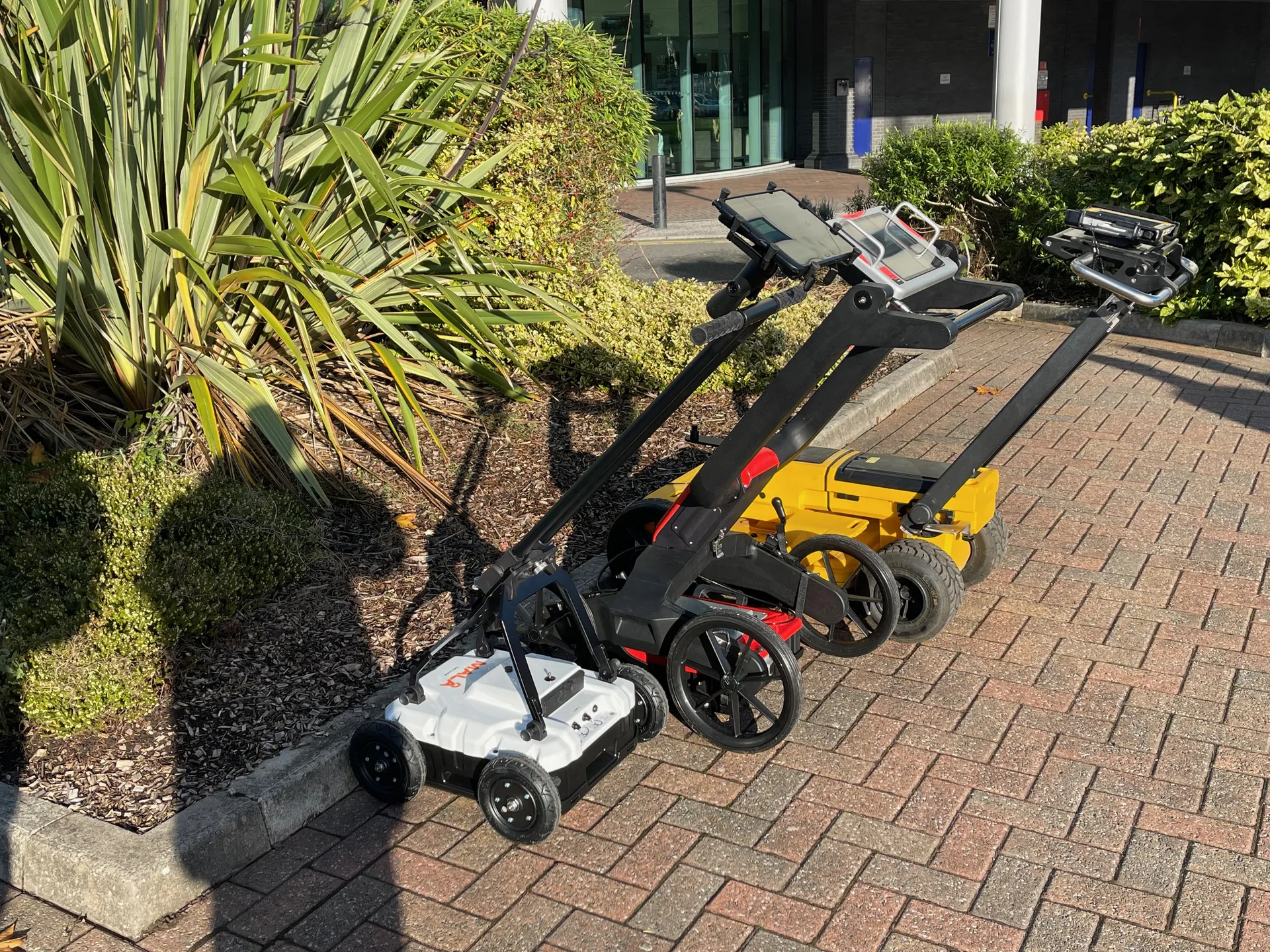
The programme covers everything from PAS128 desktop surveys and site reconnaissance in Module 1 through to the application of ICT in utility surveying in Module 7. In between, delegates progress through advanced electromagnetic locating, GPR theory and post processing, surveying instruments including total stations and GNSS, and the geometric principles that underpin high-accuracy subsurface mapping.
The full programme is 17 or more days of structured training spread across all seven modules. Individual modules can be completed as standalone courses or combined. Modules 3 and 4 (GPR theory and advanced post processing) are frequently taken together as a standalone three-day course.
For those working towards ProQual Level 4 or Level 5 qualifications in Utility Mapping and Surveying, this programme provides the training evidence and competency foundation those qualifications require.
Programme at a Glance
Audience
Designed For
| Who | Why |
|---|---|
| Utility surveyors developing towards ProQual Level 4 or Level 5 | The programme provides the structured training and competency evidence those qualifications require |
| Senior utility surveyors and mapping professionals | Formalises advanced skills and maps them to ICES competency standards |
| Utility mapping companies developing their survey teams | A defined, end-to-end training programme for career progression |
| Individuals seeking ICES corporate membership requirements | Modules map directly to ICES GEUS01-GEUS04 competencies |
| Those who have completed the 5 Day PAS128 course and want to continue | The programme extends and deepens the skills developed in the 5 Day course |
Programme Structure
A Complete Professional Training Programme
Seven modules covering every ICES competency required for professional utility mapping. The full programme runs to 17 or more days, with individual modules available standalone.
| Module | Duration | Title | ICES Competency |
|---|---|---|---|
| Module 1 | 1 day | Desktop Survey and Site Reconnaissance: PAS128 Level D and C | ICES GEUS01 A-D |
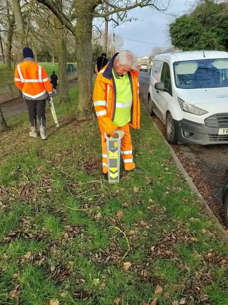
| Module 2 | 3 days | Advanced EM Locators: PAS128 Level B (EM) | ICES GEUS01 E and G |
| Module 3 | 1 day | GPR: PAS128 Level B (GPR) Unit A | ICES GEUS01 F Part 1 |
| Module 4 | 2 days | Advanced GPR Data Collection and Post Processing: Units B and C | ICES GEUS01 F Part 2 |
| Module 5 | 5 days | Use and Understanding of Surveying Instruments | ICES GEUS02 A-G |
| Module 6 | 4 days | Application of Geometric Principles | ICES GEUS03 A-E |
| Module 7 | 1 day | Ability to Use ICT in Surveying | ICES GEUS04 A-D |
Module Content
What Each Module Covers
Module 1
Desktop Survey and Site Reconnaissance (1 Day): ICES GEUS01 A-D
Module 2
Advanced EM Locators (3 Days): ICES GEUS01 E and G
Module 3
GPR Theory and Practical Use (1 Day): ICES GEUS01 F Part 1
Module 3 is a prerequisite for Module 4. Modules 3 and 4 can be taken together as a standalone three-day GPR course.
Module 4
Advanced GPR Data Collection and Post Processing (2 Days): ICES GEUS01 F Part 2
Module 5
Use and Understanding of Surveying Instruments (5 Days): ICES GEUS02 A-G
Module 6
Application of Geometric Principles (4 Days): ICES GEUS03 A-E
Module 7
ICT in Surveying (1 Day): ICES GEUS04 A-D
What You Get
At the End of This Course
TSA Certificate
TSA and ICES recognised qualification on completion of all seven modules
Portfolio of Evidence
Documented evidence across all seven modules for professional records
CICES Membership Pathway
Eligibility to apply for Chartered Institution of Civil Engineering Surveyors membership
Professional Recognition
Industry-recognised qualification for utility mapping and surveying career progression
Flexible Module Booking
How to Take the Programme
The programme is designed to be taken as a complete pathway but can also be accessed module by module. Individual modules are available as standalone courses for delegates with specific development needs.
| Option | What It Covers |
|---|---|
| Complete programme | All seven modules (full ICES competency coverage and ProQual Level 4 or 5 pathway evidence) |
| Modules 1-4 only | Full PAS128 B competency: desktop, site recon, advanced EM, GPR theory, GPR post processing |
| Modules 3 and 4 together | Three-day standalone GPR course: theory, practical use and post processing |
| Modules 5-7 | Surveying instruments, geometric principles and ICT (for those already competent in PAS128 detection methods) |
| Individual modules | Any module can be taken standalone based on specific development needs |
Qualification Pathway
The Route to ProQual Level 4 and Level 5
The TSA and ICES Utility Mapping Programme provides the structured training evidence that underpins the ProQual Level 4 Diploma and Level 5 Diploma in Utility Mapping and Surveying. Delegates completing the programme generate assessed portfolio evidence across all ICES competency domains.
| Qualification | ICES Competencies Required |
|---|---|
| ProQual Level 3 Certificate | GEUS01 A-G, F Part 1 |
| ProQual Level 4 Diploma | Full GEUS01, GEUS02 A-G |
| ProQual Level 5 Diploma | Full GEUS01-GEUS04 |
Why Sygma
Why Train With Sygma?
TSA Approved
Sygma is an approved TSA training provider for utility mapping and surveying.
Led by Working Surveyors
Trainers who actively work in utility surveying and bring real experience to every module.
Independent
Sygma is independent and owns the training process from start to finish.
Practical Assessment
Every module includes practical application and assessment, not just theory.
Flexible Delivery
Open courses throughout the year or private in-house delivery for teams.
Career Pathway
The programme directly supports ProQual Level 4 and Level 5 qualifications.
CITB Employer Network Funding
Sygma is a CITB ATO. Contact your CITB Employer Network adviser about funding support for the TSA and ICES programme. Availability varies by employer and is not guaranteed.
Related Training
Related Courses and Qualifications
5 Day PAS128 Surveyor Course
Covers Modules 1 to 3 content in one intensive week, with written exam and practical assessment. A natural first step before the wider programme.
GPR Training
Equivalent to Modules 3 and 4 as standalone GPR training. Module 1 (theory and practical use) and Module 2 (advanced post processing) available individually or combined.
PAS128 Awareness
Entry-level awareness of the PAS128 standard for those who commission, receive or act on utility surveys.
ProQual Level 3 Certificate
The first nationally recognised qualification on the utility mapping pathway. Evidence from Modules 1-3 supports this qualification.
ProQual Level 4 Diploma
Higher-level qualification requiring evidence from Modules 1-5. The programme provides the training foundation.
ProQual Level 5 Diploma
The full professional qualification requiring evidence from all seven modules across GEUS01-GEUS04.
Common Questions
Frequently Asked Questions
Do I need to complete all seven modules?
No. Individual modules can be taken as standalone courses. Many delegates focus on Modules 1 to 4 for PAS128 competency, or on Modules 3 and 4 together as a three-day GPR course. The full seven-module programme is the route to complete ICES competency coverage and to the ProQual Level 4 and Level 5 qualifications.
What is the prerequisite for Module 4?
Module 3 (or equivalent GPR knowledge) is a prerequisite for Module 4. Delegates attending Module 4 should already understand GPR fundamentals, either from Module 3 or from equivalent prior training. Modules 3 and 4 are frequently taken back to back as a three-day course.
How does this programme relate to ProQual Level 4 and Level 5?
The programme provides structured training evidence that forms the foundation of ProQual Level 4 and Level 5 submissions. The seven modules map directly to the ICES competency domains required for those qualifications. Speak to the bookings team about how to plan your training and qualification pathway together.
Can modules be taken in any order?
Generally yes, with the exception of Module 4 which requires Module 3 as a prerequisite. For delegates working towards ProQual Level 4 or Level 5, completing modules in order provides the most logical progression and makes portfolio building easier.
Is this programme available in-house?
Yes. All modules are available as private in-house courses. This is the preferred option for teams, as it allows scheduling to fit around operational demands. Contact the bookings team to plan a delivery schedule.
How is this different from the 5 Day PAS128 Surveyor Course?
The 5 Day PAS128 Surveyor Course covers the content of Modules 1 to 3 in an intensive week, with a written exam and practical assessment included. The TSA and ICES programme is broader and longer, adding advanced GPR post processing, surveying instruments, geometric principles and ICT (Modules 4 to 7). For those entering utility mapping, the 5 Day course is often the natural first step before progressing into the wider programme.
Enquire About the TSA and ICES Utility Mapping Programme
Open course dates available for individual modules throughout the year. Private in-house delivery of the full programme or selected modules can be arranged for teams. Contact us to plan your training pathway.