Utility Avoidance
Manufacturer-Specific Locator Training: vScan, CScope, and Other Pipe Locators
One day. Up to eight delegates. Theory and practical training tailored to your specific pipe and cable locating equipment, using your own kit on a representative site. Multiple certification options available.
Who Is This Course For
Designed For
Experienced Locator Operators
Those who already hold EUS CAT1 or equivalent and want manufacturer-specific advanced training on their particular equipment model.
Equipment Fleet Managers
Professionals responsible for specifying, maintaining and getting the most from their organisation's locator fleet.
Organisations With Specialist Equipment
Companies that have invested in specific manufacturer equipment and want their teams trained on its full capability.
Anyone Transitioning to New Equipment
Operators moving from one manufacturer's locator to another who need structured training on the new platform.
Duration
1 day (09:00 to approx 15:30)
Max Delegates
8 per course
Certificate
In-house, EUS, ProQual, or Level 2
Assessment
Written, 70% pass mark
Delivery
In-house, nationwide UK

Training for Your Specific Equipment
When Generic CAT Training Is Not Enough
Not every organisation uses a Radiodetection CAT4 and Genny4. Teams working with vScan sonde locators, CScope systems, or other makes need training that is built around the specific equipment they actually use on site.
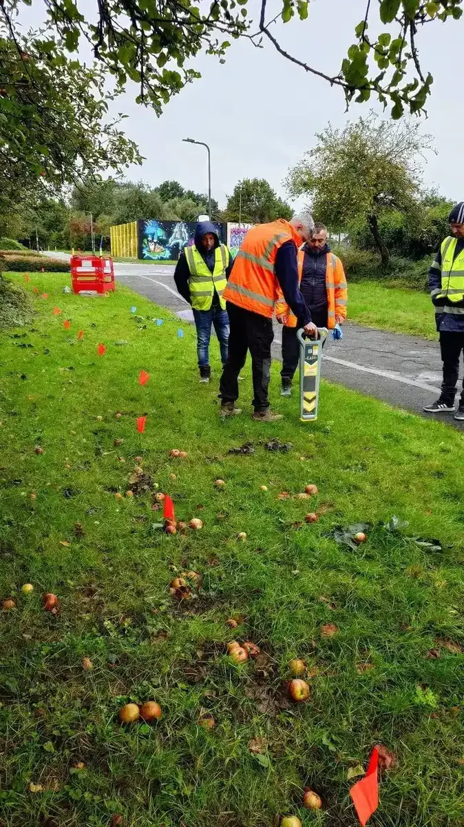
This one-day course is bespoke by design. Sygma's trainers work from the electromagnetic principles upward, building a programme around your specific locator's controls, modes, signal generator, and data output. The Genny-First methodology that sits at the core of all Sygma training is adapted to your equipment. The theory session covers how your locator works and why it behaves the way it does in different conditions. The practical element puts delegates on site with their own kit, working through real location tasks and problem scenarios.
Certification is flexible. You can choose from an in-house Sygma certificate, an EUS certificate, a ProQual certificate, or a Level 2 qualification. The course content is the same regardless of the certification route. What differs is the certificate your delegates receive at the end.
The course concludes with a written assessment at a 70% pass mark. A verbal assessment alternative is available for delegates with dyslexia or other reading difficulties. This must be requested at booking.
Course at a Glance
Classroom Content
Theory Built Around Your Equipment
The classroom programme covers the electromagnetic theory that underpins how your locator works, the specific controls and modes on your make and model, and the practical knowledge delegates need to use it correctly in the field.
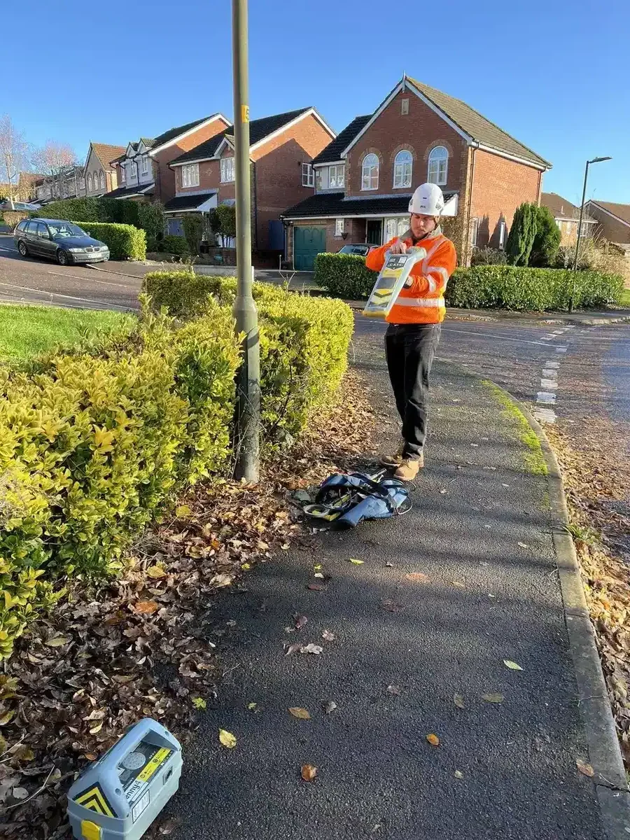
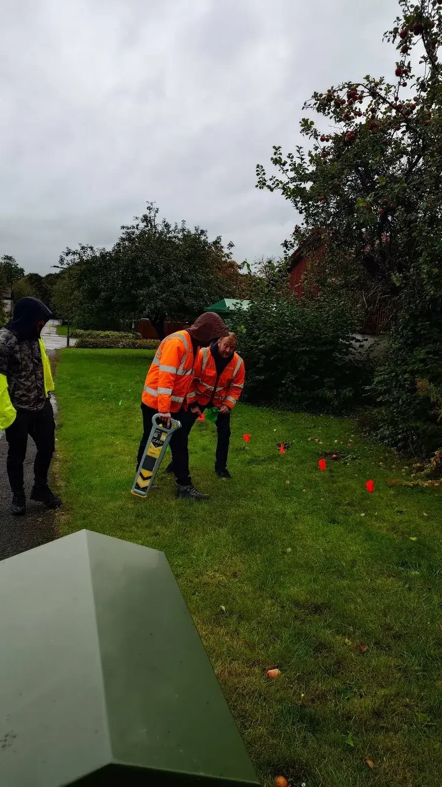
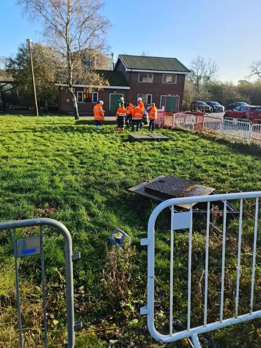
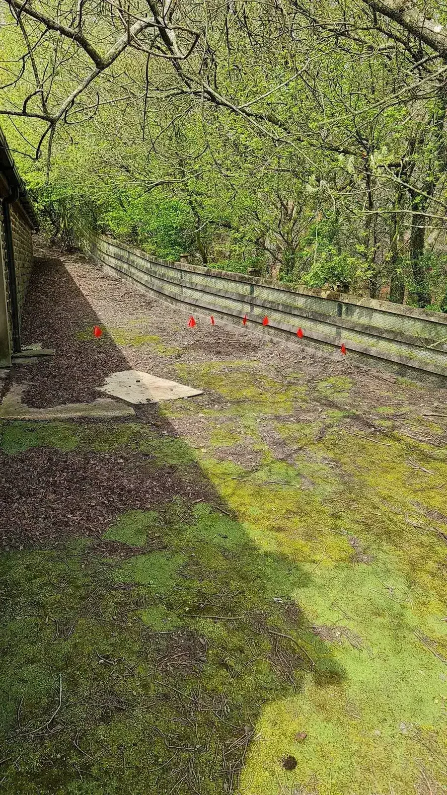
Site Practical
Hands-On With Your Own Equipment
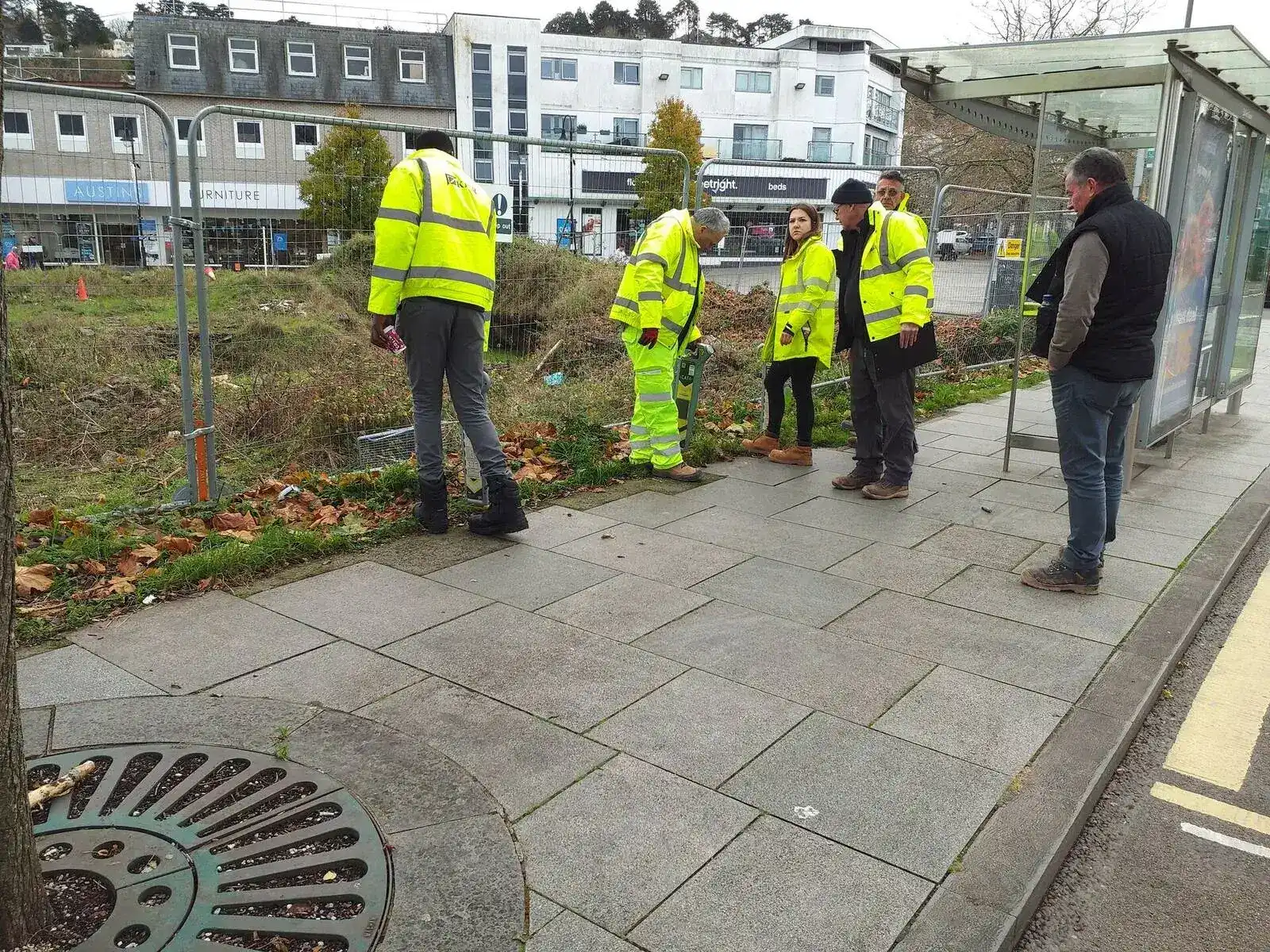
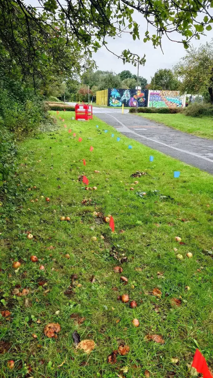
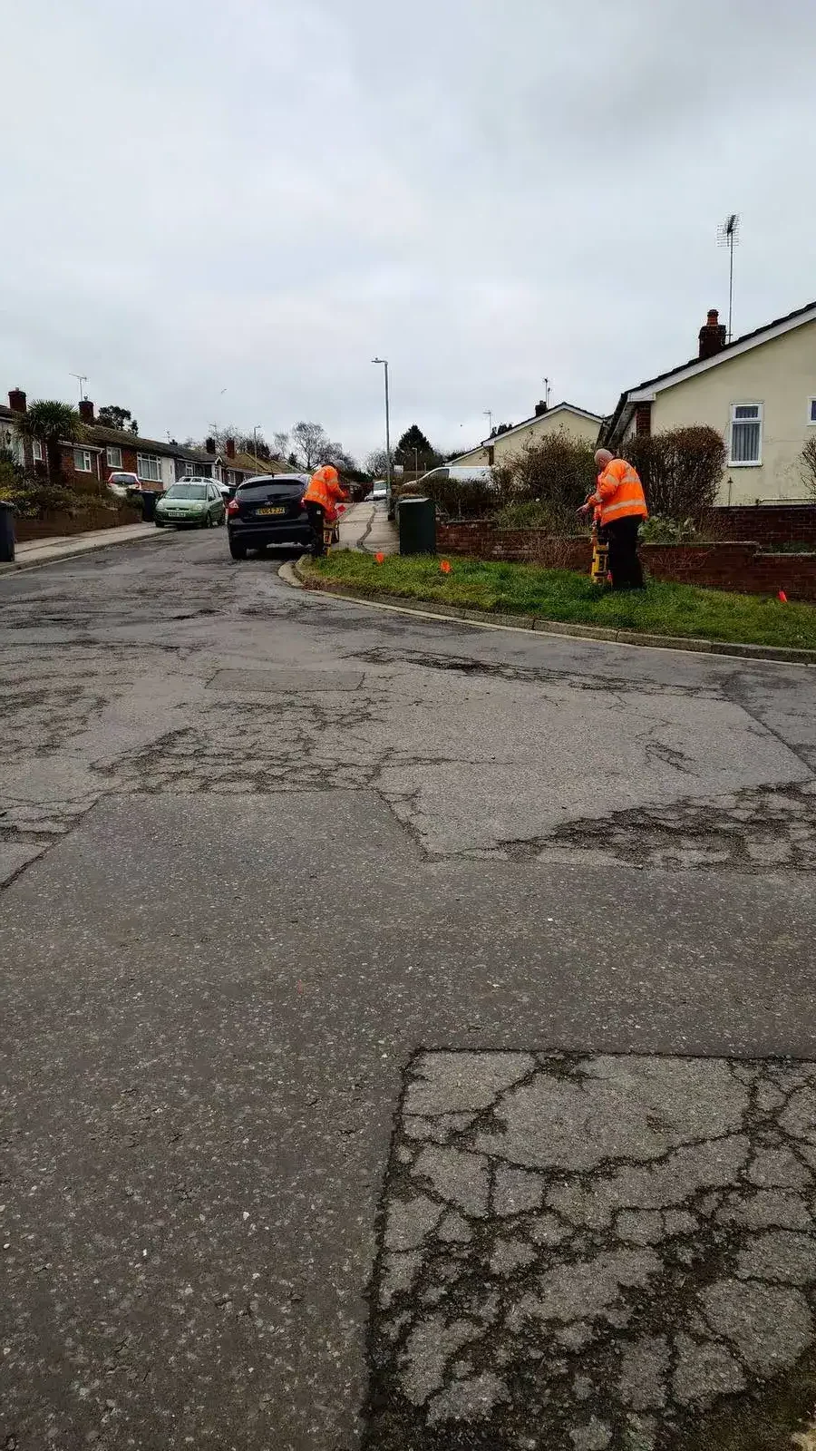
The practical element takes place at or near the training room on a representative site with buried metallic utilities present. Delegates work with their own locator throughout, building competence with the kit they will use on site after the course.
Requirements
What You Need to Provide
Equipment
Site
Important: Equipment at booking
Because this course is built around your specific equipment, Sygma needs the make and model of every locator delegates will bring before the training date is confirmed. This allows the trainer to prepare the correct session content and confirm that the signal generator being provided is compatible. Please supply this information at the time of enquiry.
What You Get
Common Questions
Frequently Asked Questions
How is this different from EUS CAT1 training?
The EUS qualification is designed for any kind of locator but is not locator-specific. The certificate you receive does not qualify you on a specific model. This manufacturer-specific course is for organisations that want training built around the specific controls, modes, and signal generator of the equipment their team actually uses. The Genny-First methodology is the same across both. The difference is that this course is tailored to your kit.
What certification options are available?
You can choose from four certification routes: an in-house Sygma certificate, an EUS certificate, a ProQual certificate, or a Level 2 qualification. The course content is the same regardless of which route you choose. The certification decision is yours and can be discussed at booking.
Can the course cover multiple different makes of locator?
It depends on the makes involved. Where delegates bring different models within the same product family, this is usually straightforward. Where delegates bring fundamentally different systems from different manufacturers, the trainer needs to know in advance so the session can be structured to cover both effectively. Contact Sygma at enquiry with the full list of equipment that will be in the room.
What if we do not have a suitable site?
The practical element requires buried metallic utilities near the training room. If your site does not have this, contact Sygma to discuss whether an alternative location can be used. Sygma's Wigan training centre has live utility demonstration rigs and may be suitable depending on your equipment and travel arrangements.
Is a verbal assessment available?
Yes. A verbal assessment alternative is available for delegates with dyslexia or other reading difficulties. This must be requested at the time of booking so that the trainer can prepare appropriately. The verbal assessment covers the same content at the same 70% pass mark threshold as the written paper.
Can we combine this with other Sygma training on the same day?
Not typically. The manufacturer-specific course runs a full day and uses the available time for both theory and practical work. If your team has additional training needs, Sygma can discuss scheduling a combined visit where different training elements are delivered across multiple days. Contact us to discuss your full training requirements.
Why Sygma
Why Choose Sygma for Manufacturer-Specific Training
Not all locators are the same. Training should be built around your specific equipment, not generic content.
Equipment-Specific Expertise
In-depth training on specific locator models your team uses.
Not generic CAT training. Built around your vScan, CScope, or other equipment's specific controls and modes.
Specialist Trainers
Directly employed, ex-surveyors and ex-manufacturers, TAQA qualified.
Our trainers understand diverse equipment and can adapt training to your kit.
Real Practical Assessment
Structured on-site practical in real conditions.
Delegates work with their own equipment on site, building confidence with the kit they use daily.
Independent
No surveys, no equipment, no manufacturer relationships.
Objective assessment without pressure from equipment manufacturers.
We Come to You
Delivered at your site, travel included.
In-house training using your own equipment and your own utilities for practical work.
Flexible Certification
Choose in-house, EUS, ProQual, or Level 2 certification.
Same high-quality training, your choice of certificate at the end.
Funding
CITB Employer Network
Training Support
Sygma is a CITB ATO. Contact your CITB Employer Network adviser about funding. All Sygma courses exceed 51% practical.
CITB-registered employers may be able to access Employer Network funding towards training costs. Equipment-specific training is recognised as professional development supporting your team's competency.
Next Steps
Related Training Courses
Build your team's capability across locating and safe excavation.
EUS CAT1
The foundation qualification for utility location. Complementary to manufacturer-specific training.
EUS CAT2 Safe Dig
Safe excavation and permit requirements. Essential for teams using locators in the field.
Plans and Process Training
Master utility plan interpretation. The first step before any locating work begins.
Enquire About Manufacturer-Specific Locator Training
In-house at your site anywhere in the UK. Up to eight delegates. Tell us the make and model of your equipment and we will confirm compatibility and provide a tailored quotation.