GPR-system designed for utility locating
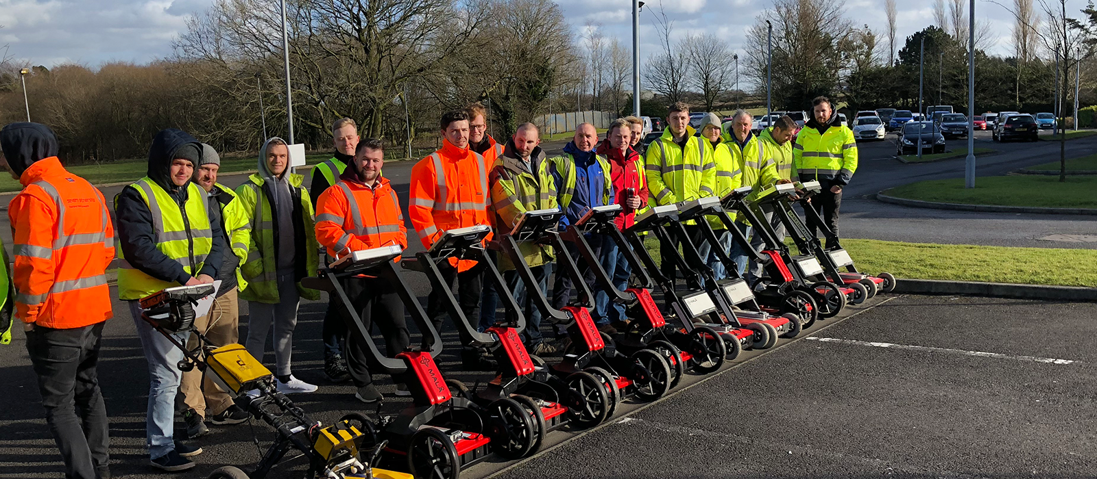
MALÅ Easy Locators offer a cost-effective, end-to-end solution for utility detection. Robust, foldable GPR-systems with exceptional data collection
capabilities, offering results within minutes, directly onsite.
Now introducing a unique addition to the EL product family — Easy Locator Pro WideRange HDR, with the widest GPR antenna bandwidth available for utility detection and subsurface anomaly locating on the market. Ultra-fast simultaneous high-resolution data acquisition for both shallow and deep targets in one solution.
The EL product family offers a flexible assortment, from simple to advanced, but still with quality and ease-of-use in common. ObjectMapper 2.0 is also offered in conjunction with the EL Pro WideRange HDR, with improved user interface and online map support.
Underground utilities are assets that need to be protected. It is essential to obtain precise and reliable information about the location and depth of buried infrastructure, such as pipes, cables and other utilities.
GPR is a non-intrusive technology and is able to detect both metallic and non-metallic utilities. The EL user-interface is tailored for utility location and is easy-to-use with simple navigation controlled by a single turn-and-push navigator button.
 MALÅ HDR real-time sampling technology offers higher data resolution and significantly better depth of penetration compared to traditional GPR technology.
MALÅ HDR technology reduces random noise; providing an unparalleled level of data quality.
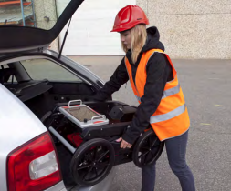
MALÅ Easy Locators are protected in robust, high quality casing, built to last in harsh conditions and rough ransportation. To simplify logistics between sites and minimize start-up time, the systems are foldable and designed to fit in the trunk of a car.
The re-engineered and remarkably improved Pro Cart takes the operation to a higher level with improved stability and folding mechanics, which facilitates the transport and time out on the field.
HDR Technology
- Significantly faster data acquisition rates
- Greater signal-to-noise ratio
- Increased bandwidth
- Unprecedented dynamic range and resolution
- Higher number of significant bits
- Greater depth penetration
- Better detection capabilities
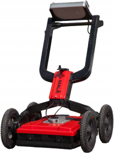
MALÅ Easy Locator Pro WideRange HDR
Ultra-fast data acquisition for both shallow and deep utility targets
MALÅ Easy Locator Pro WideRange HDR is the new antenna option for the EL Pro and offers the broadest bandwidth on the market (80 – 950 MHz).
Therefore, the antenna is suitable for both shallow high-resolution surveys and deeper investigations. Software engineers at MALÅ have made their
utmost to maintain the simplicity of the user-friendly interface — gaining easy access to the benefits of the new antenna.
The high resolution display will present the WideRange data with a movable horizontal divider at the center of the screen. By moving the divider (up or down) the user will be able to view more (or less) of the high resolution or deep penetrating data respectively.
The re-engineered EL Pro Cart has improved stability, folding mechanics, and a completely encapsulated, wheel axis mounted, encoder. The new battery compartment is completely mechanically re-designed, giving much smoother
handling and more battery space
EL HDR Wide Range is offered with the MALÅ Object Mapper 2.0 software. Object Mapper is an easy-to-use and appreciated software for utility detection professionals. The new 2.0 version includes an improved and intuitive interface and support for online maps.
The background maps handle e.g. Google Maps, OpenStreet map and Open Aerial. The new software also has an improved DXF export, built-in GPS Mapper functionality and export to KMZ files.
Features
- Effective bandwidth: 80-950 MHz, no “blind spots”
- Both high resolution data and deep penetration
- Alternative data views – More (or less) of the high resolution or deep penetrating data
- Pro Cart with improved stability, folding mechanics, battery compartment, tire-options
- Improved and intuitive interface
- Support for online maps
- Improved export functionalities
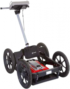
MALÅ Easy Locator Pro HDR
MALÅ Easy Locator Pro HDR (EL Pro HDR), is the third generation EL, with added features for utility professionals with requirements of post-processing data. MALÅ EL Pro HDR allows for 32 bit data export to processing and visualization software.
MALÅ EL Pro HDR is capable of performing Grid Projects and is bundled with ObjectMapper.
The system has built-in DGPS (SBAS) for positioning, and supports improved positioning through various stand-alone high precision GPS systems.
Features
- Easy-to-use foldable all-in-one unit
- Outstanding data quality
- Startup within minutes
- Results directly on-site
- Exceptional detection capabilities
- Fast data acquisition
- Built-in DGPS for improved positioning *
- Data export and post-processing software *
MALÅ Easy Locator HDR
 MALÅ Easy Locator, the second generation EL, is a compact and cost-effective system delivering results directly in the field.
The system has a back-up cursor for quick and accurate utility marking and multiple battery management, which gives up to 14 hours of continuous run-time.
Rough Terrain Cart
The MALÅ Easy Locator antenna, control unit and monitor can also be mounted in the MALÅ Rough Terrain Cart (RTC), increasing the operational capabilities in more rugged terrain.
MALÅ Easy Locator
The professional’s choice for utility locating
The Easy Locator-series offer all-in-one, foldable GPRsystems especially designed for utility location. Based on unique HDR technology, MALÅ Easy Locators provide an unparalleled level of data quality and exceptional detection capabilities. Easy-to-use, efficient and rugged GPR-systems,
offering results with-in minutes, directly onsite.